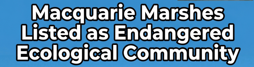
At long last the Macquarie Marshes have been listed as an Endangered Ecological Community under the federal EPBC Act. Only a handful of decades ago, the Marshes would spread over one million hectares in a big flood. At the height of the 2022 flood, they covered about 230,000 hectares. The listing means any new proposal – like keeping more water in Burrendong dam’s flood mitigation zone – would have to be assessed under the EPBC Act.
The Lower Murray River was listed as Critically Endangered, highlighting the still urgent need to address the problems arising from the over extraction of water from the Basin.

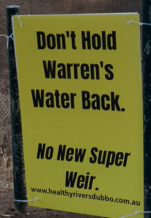
Water is released from Burrendong dam at a blistering rate. All of the high flows through Dubbo since December have been either destined for the pumps or used as operational water, to move water to a pump. With memories of 2019 when Dubbo was with 8 months of evacuation, Healthy Rivers Dubbo has launched our new campaign Get The Basics Right. We are calling on Water Minister Rose Jackson to make good on her promises – and her legislated duty – to fix our broken water rules once and for all. Our asks are stated here on our website, along with ways you can get involved or support our work.

Make sure you see the stunning work of artist Ruby Davies at the Western Plains Cultural Centre before the 26th of April.
‘Rivers Flow to the Sea, to the Sea’ is an exploration into the presence of the Darling/Baaka River through Dubbo-based artist Ruby Davies’ life and the overarching impact it has had on her as an artist. Through a collection of paintings, photographs and mixed-media material, this exploration traces Davies’ continued interaction with the river and the land that surrounds it.

The long awaited Basin Plan Review is happening this year, with the Basin Authority releasing a disscussion paper last week to initiate a 3 month consultation process. With over 100,000 fish dying in Menindee Lakes following an unprecidented heatwave with temperatures between 45 – almost 50 degrees for nine days, it was sobering to read that the Authority are proposing not to consider realigning extraction limits after consider climate change forcast. Learn more about the Basin Plan review from the conservation perspective at the Murray-Darling Conservation Alliance public information webinar February 17, 2026 6:30pm – 8pm RSVP here
Thankyou for supporting our work – donations are gratefully accepted.